Putting livestock systems on the map: eleven geographies across 4.2 million km² of the dry woodlands in South America
 © Jamie Burton
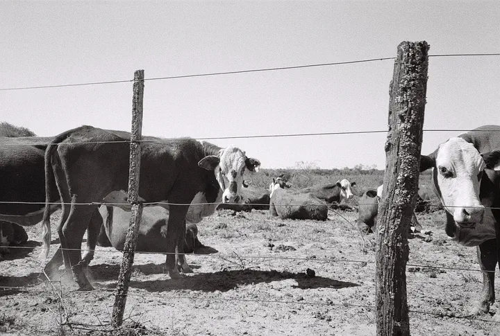
We used vaccination records, farm registers & transaction permits — with active learning — to map 11 distinct livestock systems across the Caatinga, Cerrado, Chaco & Chiquitano. From small goat herders to industrial cattle fattening operations.
The geography tells a stark story: capitalised cattle concentrate on the most productive land; pastoralists & smallholders hold on in the driest, most marginal areas. Both resilience and dispossession — and it matters for where land policy lands in these regions.