
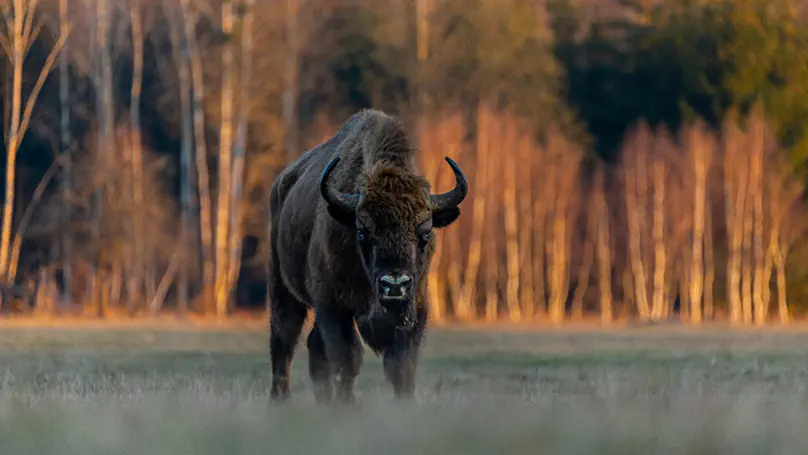
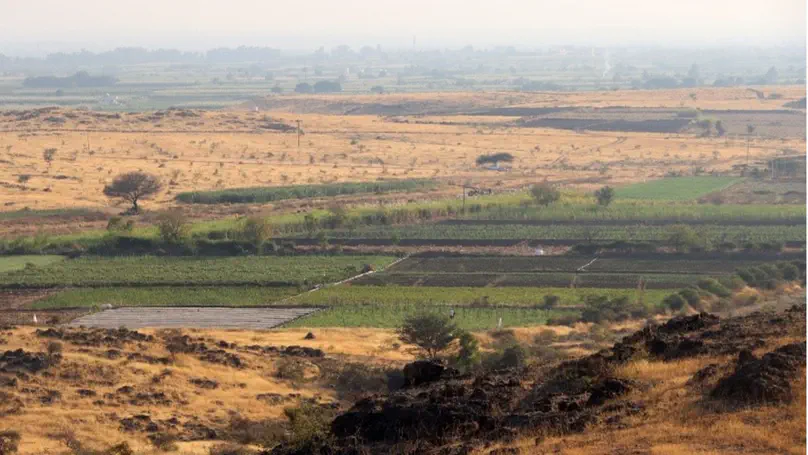
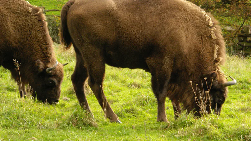
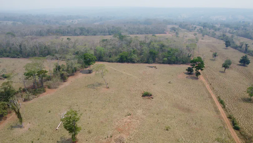
Grazing livestock is one of the most widespread land uses, driving diverse alterations across half of Earth’s ice-free land. The assessment of key indicators in grazing livestock systems remains limited, primarily due to a lack of information on system intensity. Here, we integrate new spatial indicators—such as confinement areas, silage bag maps, and smallholder woodland settlements—to refine the estimation of grazing pressure across the entire Argentine Dry Chaco. Additionally, we combine a grass growth model with high-resolution imagery to estimate the carrying capacity of rangelands, including natural grasslands, pastures, and silvopastures. Overall, our work highlights the critical role of livestock system characterization in improving impact assessments.

Combined hunting and habitat loss triggered dramatic declines in jaguar and puma populations in the Gran Chaco causing functional extinction of their guild across about 61% of the Chaco. Jaguars dropped by 88% and pumas by 80%, with their ranges contracting by 48% and 35% respectively. Hunting emerged as a far stronger driver of decline than habitat destruction. Large protected areas serve as vital population sources amid surrounding degraded landscapes.

Megafauna are recovering despite persisting human activities in many landscapes. Our study highlights the capacity of low-pressure landscapes to support diverse megafauna communities, underscoring their potential to restore lost species.

Protected areas are the cornerstone of conservation efforts worldwide but their effectiveness in non-forested landscapes has been rarely assessed. Using remote sensing and matching statistics, we showed that protected areas in the Caucasus are ineffective against rangeland degradation, mainly due to livestock grazing.

A very warm welcome to Sebastián Aguiar who joins us as a PostDoc specializing in environmental and land systems! Originally based in Buenos Aires, Argentina, Sebastián brings a wealth of knowledge on the drivers and impacts of land-use change, particularly within the Argentine Chaco region.

Megafauna habitats have steadily declined throughout the Holocene, with the most significant losses in recent centuries due to human activity. However, modern trends of less intensive land use and more robust conservation efforts are reversing Holocene defaunation trends.

In South America’s major deforestation regions, conservation funds often go to recognized area-based conservation, and follow previous investments. Different biomes have not only received varying level of funding, but also saw different funding allocation strategies in terms of targeting forest cover/deforestation or not.

Land use is a major cause of the biodiversity crises and therefore also a potential solution. In a new paper in Conservation Letters, we discuss how land use is often oversimplified in conservation assessments, policy and planning – and how linking Land System Science and Conservation Science can overcome this and lead to a better representation of land use in conservation science and practice.

We propose a new method for integrating expert range maps in species distribution models using an ensemble approach called stacked generalization. Our approach helps to improve the mapping of species’ realized ranges and thus holds considerable potential for biogeographic research and conservation planning.

We used an integrated approach, combining human behavior and landscape structure, to map “coexistence landscapes” for pumas and people in the Argentine Dry Chaco. Our findings show that to sustain viable puma populations while minimizing local conflicts, we need to: (1) protect safe habitat and movement areas, (2) mitigate livestock predation in risky areas, and (3) restore connectivity in severed and matrix areas.