
Ranger patrols are the most common conservation measures against poaching in protected areas. We extracted, digitized and analyzed ranger-collected data from logbooks to predict poaching prevalence, its determinants and to devise future patrolling strategies.

We develop an approach to map spatial and temporal patterns of deforestation frontiers and apply it to the world’s tropical dry woodlands. We find across regions, areas under drastic loss, termed rampant frontiers, and that many frontiers are just starting to unfold.

The return of large carnivores in Europe challenges conservation because of increasing human-wildlife conflict. We here show that, along with livestock protection, preventive measures should consider predator-prey effects and resulting indirect conflict with humans, such as via crop damage.

Identifying causal agents of disturbances is important for understanding forest degradation patterns and for addressing their outcomes, including biodiversity loss and carbon emission. Using information derived from the Landsat archive, we attribute and map key agents of forest disturbances for the Argentine Chaco.

Land systems are key to overcoming existential challenges facing humanity and achieving sustainable development. Land System Scientists from around the globe synthesized their knowledge into 10 Facts on Land Systems that together light the way toward a sustainable future.

We compared the effects of human activities and Eurasian lynx occurrence on foraging patterns by roe deer inside a national park. Our findings highlight that recreational activities and hunting are more influential than lynx occurrence in shaping the variation in browsing intensity and diet selection by deer, thus highlighting the importance of human activities in creating ‘landscapes of fear’ for large herbivores.

We mapped conservation-related foreign aid in South America’s major deforestation frontiers between 1975-2013. The combinations of project objectives, interventions and locations reflected linkages between donating and receiving regions, as well as donor’s value and preferences.

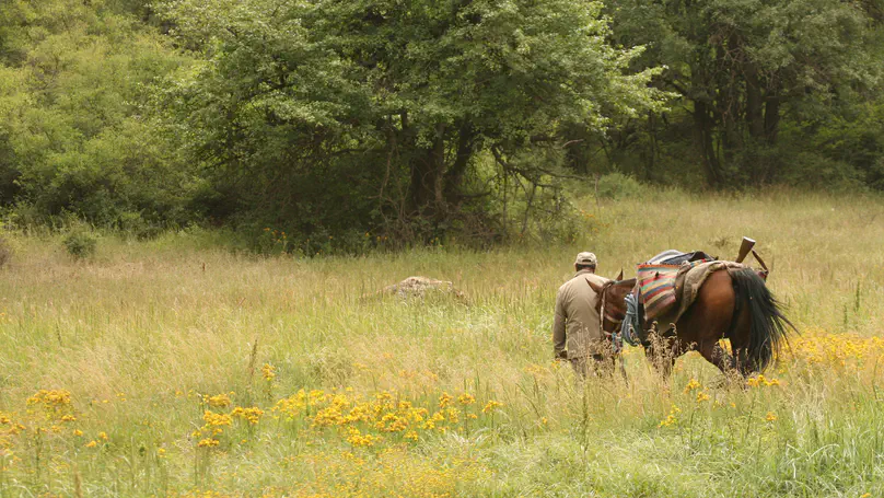
Using Sweden as a case, we show that hunting of different game groups is a wide-spread activity, covering more area than forestry or agricultural. We found strong spatial associations between hunting, agriculture, and forestry related to wildlife group or species, specific environmental conditions, socioeconomic and institutional factors.

Mapping biomass stocks in tropical and subtropical forests is important to understand where and how agricultural expansion will result in carbon emissions, and where measures to protect carbon stocks should be targeted to. Using MODIS and Sentinel 1 time series, we show that the dry Chaco, a global deforestation hotspot, still contains vast amounts of carbon. Our paper in Remote Sensing of Environment also highlights that global maps typically underestimate the carbon stored in Chaco vegetation dramatically.